Perry-Castañeda Library
Map Collection
Norway Maps
The following maps were produced by the U.S. Central Intelligence Agency, unless otherwise indicated.
Country Maps- Norway (Political) 1996 (330K) and pdf format (333K)
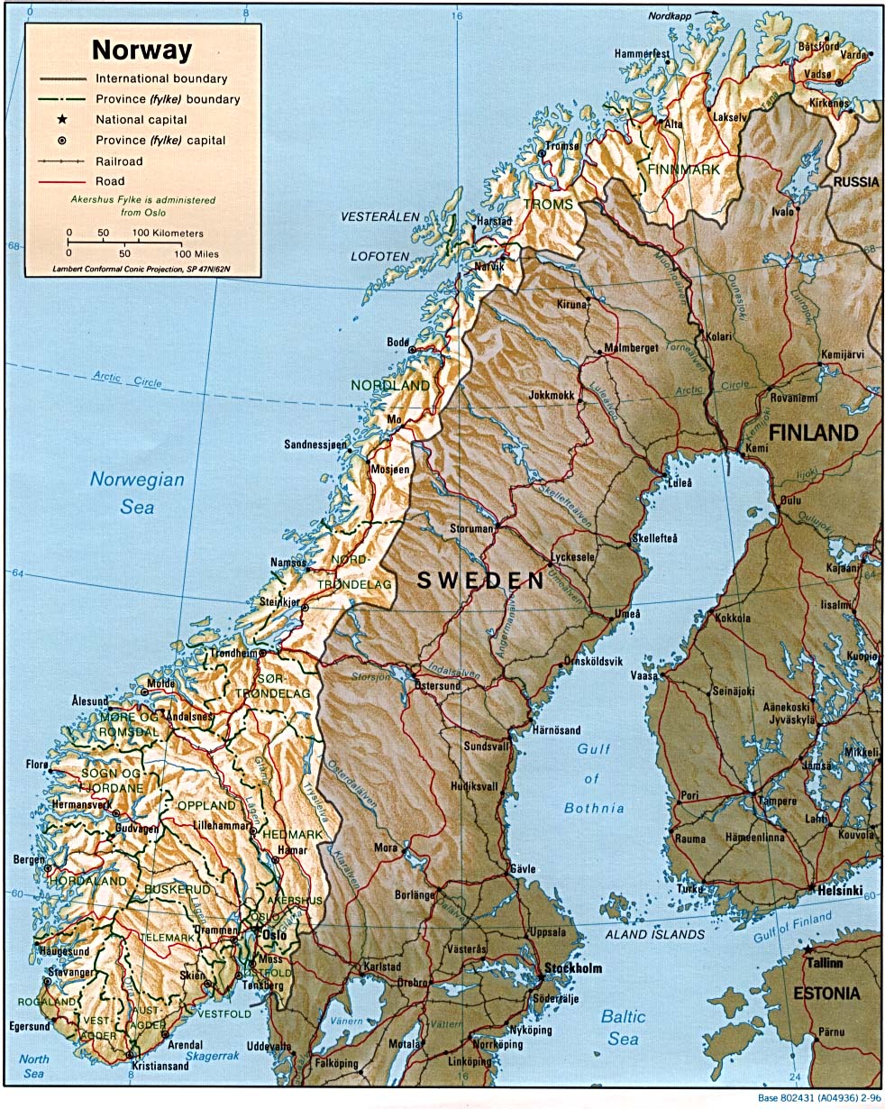
- Norway (Shaded Relief) 1996 (351K) and pdf format (354K)
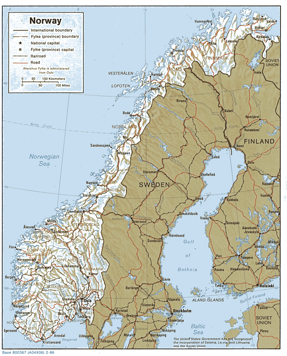
- Norway (Shaded Relief) 1986 (282K) and pdf format (300K)
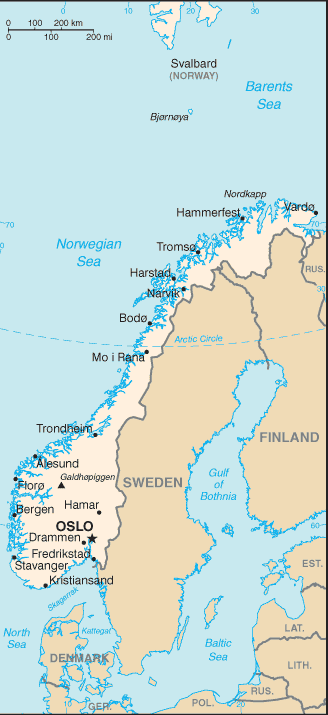
- Norway (Small Map) 2016 (23.4K)
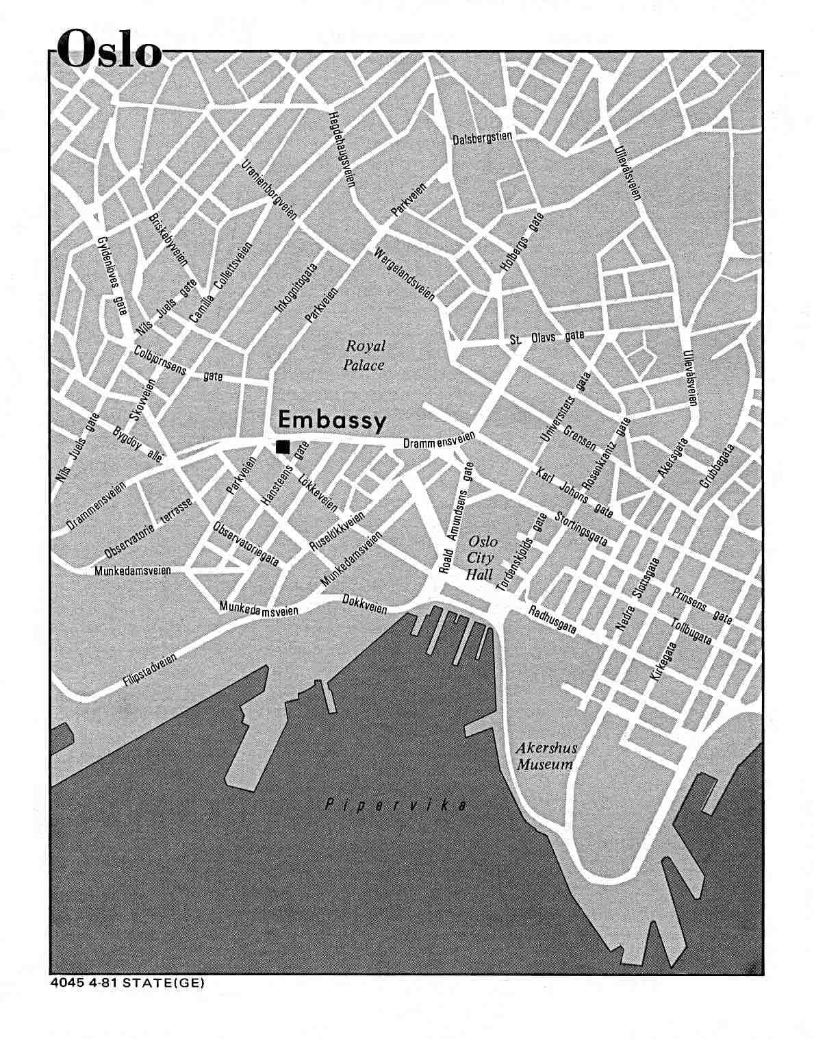
- Oslo U.S. Dept. of State 1981 (195K)
- Norway - Land Utilization from Map No. 500007 1971 (162K)
- Norway - Population from Map No. 500007 1971 (190K)
- Norway - Principal Industries from Map No. 500007 1971 (155K)
- 1:1,000,000 - Operational Navigation Chart Series [aeronautical charts] U.S. Defense Mapping Agency Aerospace Center Not for navigational use
- This series covers all of Norway on sheets C-2 and D-2 C-2 (Northern Norway) and D-2 (Southern Norway)
- 1:500,000 - Tactical Pilotage Charts U.S. National Imagery and Mapping Agency. Not for navigational use
- This series covers Norway
- 1:500,000 - Europe Series M404 (4072), Great Britain War Office, 1942-
- This series covers most of Norway
- 1:500,000 - World Series 1404, Great Britain. War Office and Air Ministry. 1958-
- This series includes most of Norway
- 1:250,000 - Northern Europe Series M515, U.S. Army Map Service. 1951-
- Includes all of Norway
- 1:100,000 - Norway Series M661, U.S. Army Map Service. 1940-
- This series covers all of Norway on sheets C-2 and D-2 C-2 (Northern Norway) and D-2 (Southern Norway)
- Bouvet Island (South Atlantic Ocean) (Small Map) 2014 (6K)
- Jan Mayen (Arctic Ocean) (Small Map) 2014 (14K)
- Svalbard (Arctic Ocean) (Small Map) 2014 (16K)
- Svalbard (Arctic Ocean) from Nuclear Weapons and NATO: Analytical Survey of Literature, United States. Department of the Army, 1970 (426K)
Maps on Other Web Sites